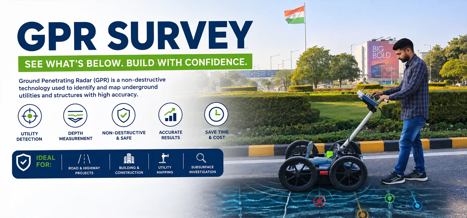
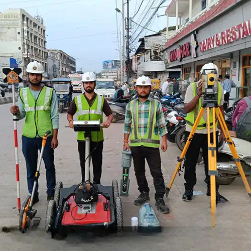
Our GPR Survey service helps identify and map subsurface features without extensive excavation. Ground Penetrating Radar technology can assist in locating underground utilities, voids, structural elements, and other hidden features, making it useful for construction and infrastructure investigations.
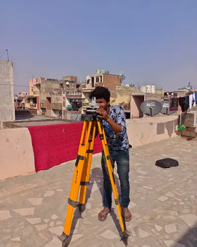
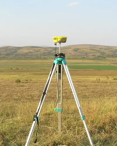
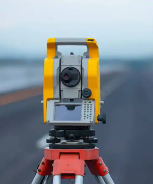
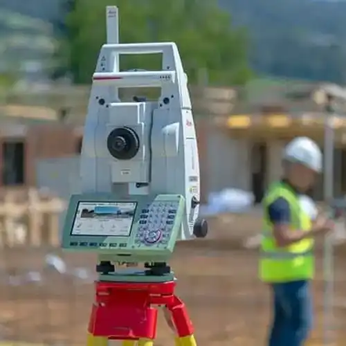
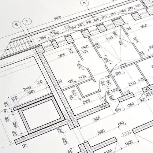
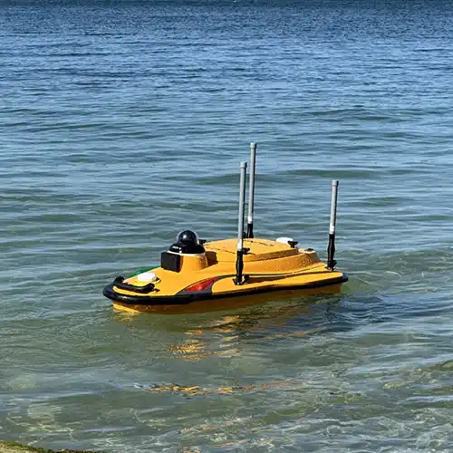
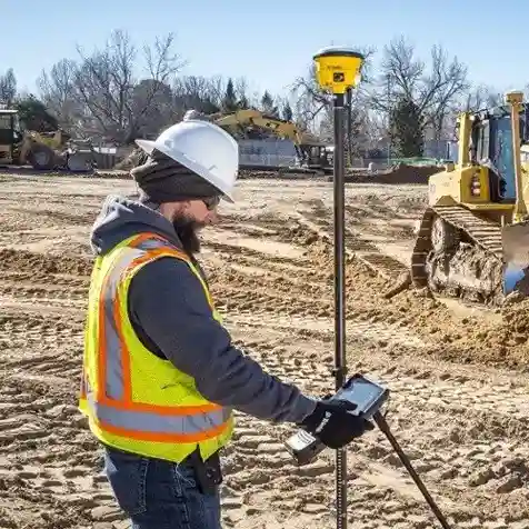
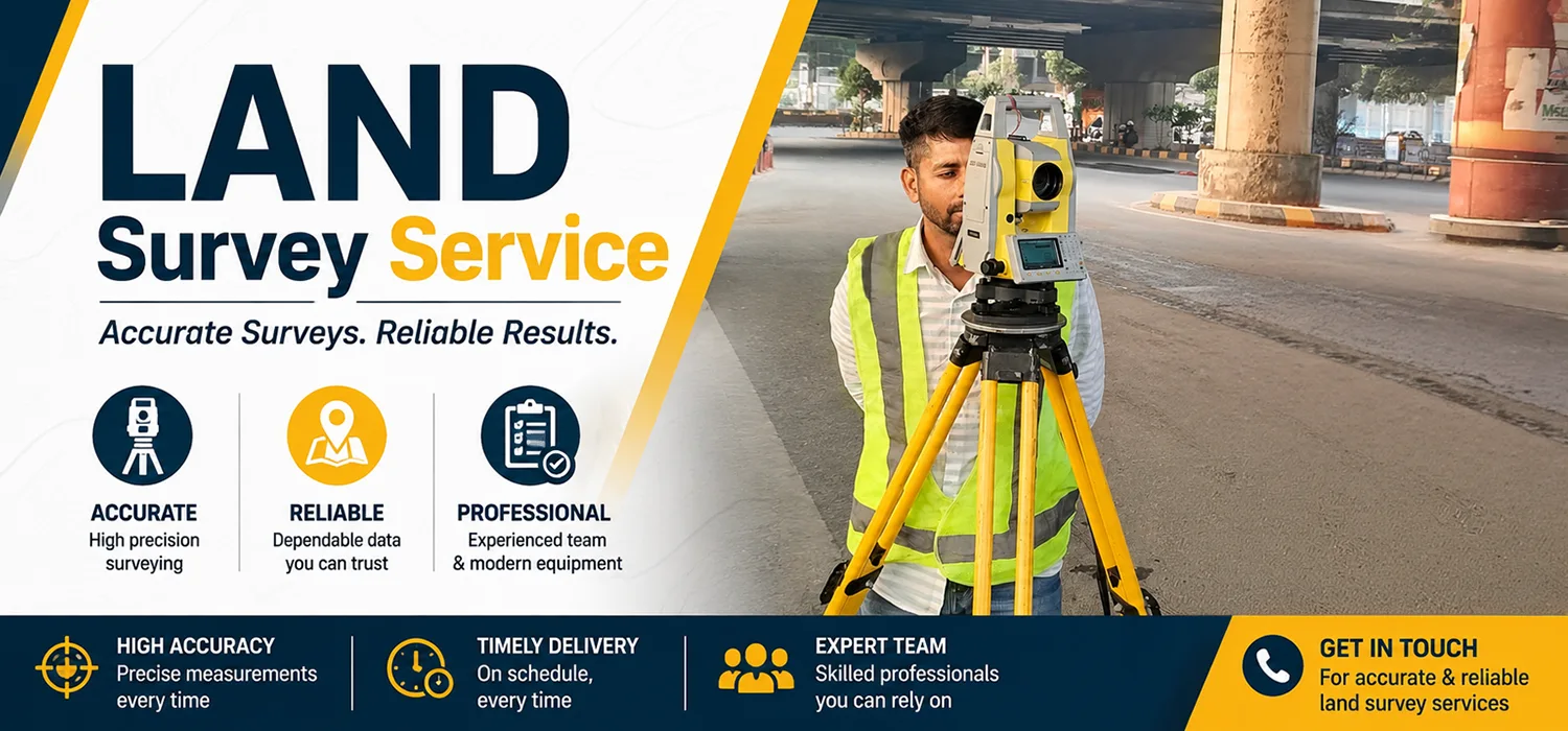
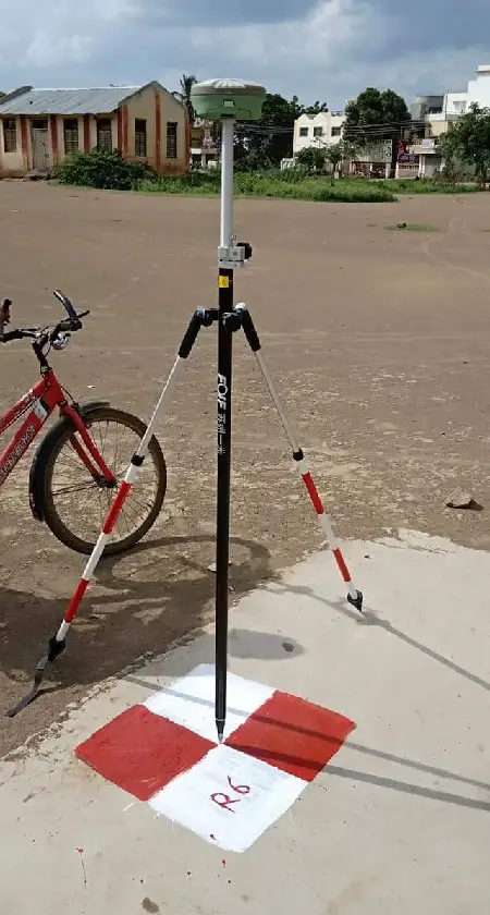
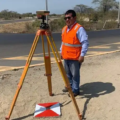
GTG GEO Technical Solution offers comprehensive surveying solutions covering Building Layout Survey Service in Delhi. Each surveying method serves a different purpose, but together they can provide a more complete understanding of land, structures, terrain and underground conditions. Our team can assist with projects where accurate measurements, positioning, mapping and site investigation are important. GPR and Ground Penetrating Radar techniques help investigate subsurface features, while DGPS, Total Station and Land Survey methods support accurate positioning and ground measurements. Drone and LiDAR technologies provide broader aerial and three-dimensional information, whereas Topographic and Building Layout Surveys support design and construction activities. For water-based projects, Bathymetric Surveying provides useful information about underwater depth and terrain. By bringing these capabilities together, we help clients obtain relevant survey information according to the actual requirements of their projects.
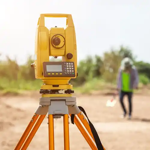
As a professional GPR Survey Service Provider in New Delhi, GTG GEO Technical Solution focuses on practical fieldwork and dependable data collection. Our services are suitable for construction companies, infrastructure developers, engineering consultants, architects, contractors and organizations involved in land development. A project may require only one specialized survey or a combination of techniques depending on its scope. For example, a construction site may benefit from a Topographic Survey before a Building Layout Survey, while Total Station and DGPS measurements can help establish accurate reference positions. Drone and LiDAR surveys can provide detailed aerial and terrain information over larger areas, while GPR can help identify possible underground utilities or anomalies before excavation. Similarly, a Bathymetric Survey can complement land-based measurements when a project extends toward a reservoir, canal, river or other water body. Our approach is to understand the purpose of the survey first and then apply suitable technology rather than collecting information without a clear project objective.
Clients searching for the Best Drone Survey Service in India, can choose GTG GEO Technical Solution for an integrated surveying approach. We understand that reliable survey information can influence important decisions related to design, construction, infrastructure, land development and site management. Our professionals pay attention to survey planning, field conditions, measurement procedures and the way collected information will ultimately be used. Combining conventional surveying methods with modern technologies allows us to support both straightforward site measurements and more complex geospatial requirements. Rather than treating every project the same way, we adapt the survey process to the location, terrain, required coverage and intended outcome. This project-focused approach helps create useful survey information that engineers, planners and construction teams can confidently use during different stages of their work.

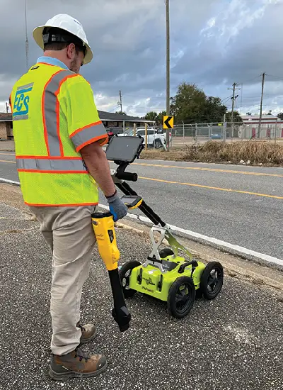

We use modern equipment and suitable surveying techniques to collect precise and detailed field data for different types of projects.

Our professionals understand the practical requirements of construction, infrastructure, land development, and engineering surveys and work with attention to detail.

We carefully collect, process, and verify survey information to help clients receive dependable data for design, planning, and execution.


GTG GEO Technical Solution provided excellent surveying support for our project. Their team was professional, responsive, and careful with every measurement. The survey data was clear and useful for our planning and execution.
Infrastructure Project Client

We were impressed with the accuracy and timely completion of the survey work. The team understood our site requirements well and provided practical solutions throughout the project. We would definitely recommend their services.
Construction Project Client

The team at GTG GEO Technical Solution handled our survey requirements efficiently. Their use of modern surveying technology and attention to detail gave us confidence in the final results.
Land Development Client
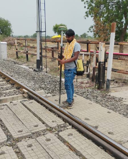
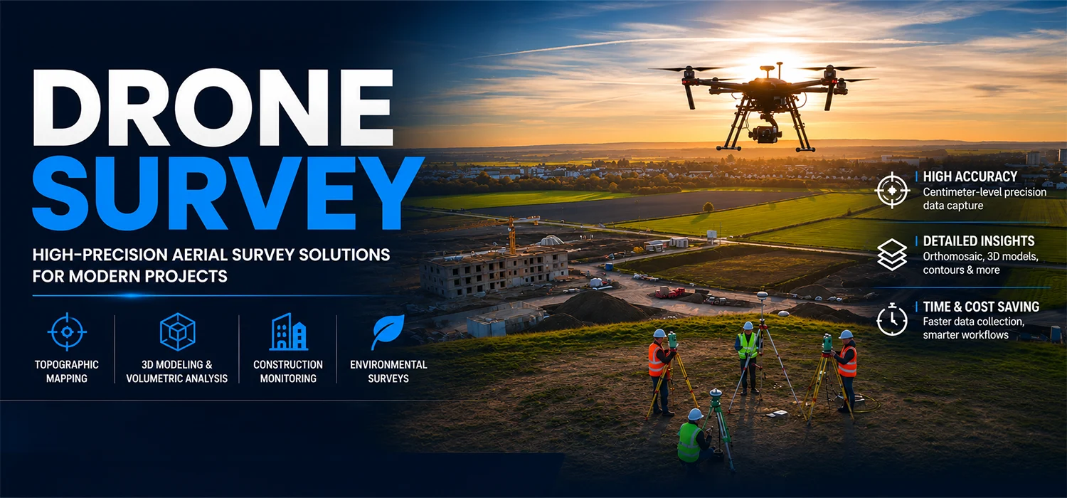
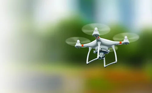
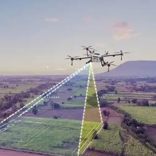
Our Drone Survey service enables quick aerial data collection over large or difficult-to-access areas. Drone-based mapping can be used for site monitoring, construction progress, terrain documentation, volumetric calculations, and creating detailed aerial representations of project locations.
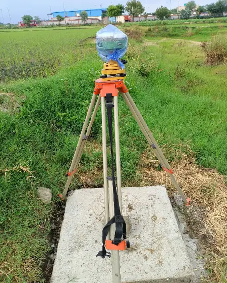
Phone
+91 9315601033Address
F-13-KH NO -10/1 Jeewan Park Pankha Road, Uttam Nagar, New Delhi -110059, India









-1788007374874.webp)
 copy-1788000462177.webp)