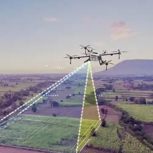
GTG GEO Technical Solution offers advanced Drone Survey Service in Delhi for projects requiring rapid aerial data collection and detailed site visualization. A Drone Survey uses an unmanned aerial platform equipped with suitable imaging or mapping sensors to capture information across large or difficult-to-access areas. It can be useful for construction monitoring, land development, stockpile measurement, infrastructure inspection, topographic mapping and progress documentation. Compared with traditional ground-only methods, drone-based surveying can cover broad areas efficiently while providing a valuable visual record of the site. Our team plans flight coverage according to the project requirements and site conditions before collecting aerial data. The captured images and measurements can be processed into useful mapping and survey outputs where appropriate. By combining aerial coverage with professional surveying practices, we help clients gain a clearer understanding of existing site conditions and project progress.
As a reliable Drone Survey Service Provider in New Delhi, GTG GEO Technical Solution focuses on safe, systematic and purpose-driven aerial surveying. Every site presents different challenges, including area size, structures, terrain, accessibility and project objectives. Our professionals therefore plan the survey mission around the information the client actually needs. Drone imagery can support orthomosaic creation, site visualization, measurements, terrain analysis and progress comparisons depending on the equipment and processing methodology used. It can be particularly valuable on construction sites where frequent updates are required across large areas. Instead of relying solely on scattered ground photographs, project teams can receive a broader aerial perspective of the site. Our approach includes appropriate planning, data collection and processing so that the final information can be integrated into engineering and project management workflows.
For companies seeking the Best Drone Survey Service in India, GTG GEO Technical Solution provides modern aerial surveying backed by professional field knowledge. Drone surveys can save time when extensive areas need to be documented and can provide a detailed visual reference for project teams. They are useful for construction progress monitoring, land assessment, infrastructure mapping and site documentation. Our professionals understand that aerial data becomes valuable only when it is properly collected, processed and interpreted for the intended purpose. We therefore focus on mission planning, image quality, coverage and project-specific deliverables. Depending on the requirement, drone survey outputs can complement conventional land, topographic or engineering surveys. GTG GEO Technical Solution aims to provide practical aerial survey solutions that help clients monitor sites, understand terrain and make better-informed project decisions.
Phone
+91 9315601033Address
F-13-KH NO -10/1 Jeewan Park Pankha Road, Uttam Nagar, New Delhi -110059, India