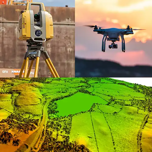
GTG GEO Technical Solution provides a wide range of professional surveying solutions, including Building Layout Survey Service in Hyderabad. These services are designed to address different stages of construction, infrastructure, mapping and land development projects. From checking underground conditions and establishing accurate coordinates to capturing aerial information and measuring terrain, our team uses suitable surveying methods according to the site requirement. A combination of these services can be especially helpful when a project needs information above, below and across the ground surface. Our professionals focus on collecting meaningful field data that can support planning, design, execution and verification rather than simply providing measurements without context.
As an experienced GPR Survey Service Provider in Hyderabad, GTG GEO Technical Solution understands that each site presents its own surveying challenges. Uneven terrain, existing structures, underground utilities, large project areas or water bodies may require different approaches. Our professionals select suitable equipment and methods after considering the nature of the site and the purpose of the survey. GPR can assist with subsurface investigations, DGPS and Total Station can establish accurate positions, while Drone and LiDAR technologies can provide extensive aerial and three-dimensional information. Topographic, Land and Building Layout Surveys can support construction and development, while Bathymetric Surveying can extend mapping into underwater environments. This combination allows us to support a broader range of technical requirements through one coordinated surveying team.
For clients seeking the Best Drone Survey Service in Hyderabad, GTG GEO Technical Solution offers dependable project-oriented support. We place importance on accurate field observations, appropriate survey planning and clear technical outputs. Our objective is to make survey information useful for people who need to take practical decisions on site. Whether the requirement involves a new building, infrastructure corridor, land development, underground investigation, terrain mapping or waterbody assessment, we can help determine the appropriate surveying approach. By combining established surveying techniques with modern geospatial technology, we help clients obtain a clearer picture of their project environment and reduce uncertainty during planning and execution.
Phone
+91 9315601033Address
F-13-KH NO -10/1 Jeewan Park Pankha Road, Uttam Nagar, New Delhi -110059, India